
Islands and the bay · Tilghman Island
Tilghman Island, where the road runs out
Past St. Michaels the land thins to a ribbon of marsh and a drawbridge. Beyond it lies a working island of crab pots, white frame houses and the last sailing oyster boats on the bay.
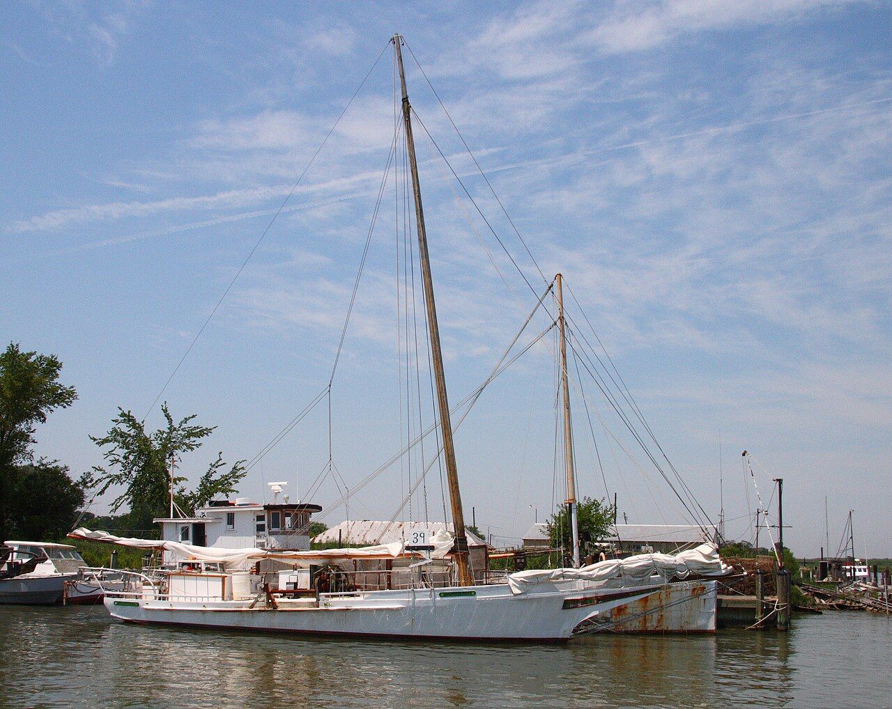
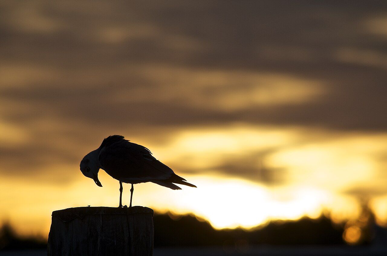
Tilghman Island is where Talbot County stops. Route 33 runs west from Easton, through St. Michaels and past fields and creeks that grow narrower on both sides, until the road crosses a short drawbridge and the land becomes an island. A few miles farther on, it simply ends at the water. Beyond that there is nothing but the open Chesapeake, wide and grey or blue depending on the hour.
This is not a resort island. It has long been home to watermen, the men and women who make a living crabbing, oystering and fishing, and the rhythm of the place still follows their work. Boats leave before dawn, crab pots stack up in side yards, and the talk at the gas pumps is about wind and water temperature. You come here to watch that life from a respectful distance, to see the bay at its widest, and to find the skipjacks that still tie up in the island's harbors.
Crossing Knapps Narrows
The first thing you meet is the channel. Knapps Narrows is a slim cut that separates Tilghman from the mainland and gives boats a shortcut between the Choptank River side and the open bay. A bascule drawbridge carries the road across, and it opens often. Workboats, sailboats and pleasure craft pass through all day in the warm months, and the bridge is known as one of the busiest drawbridges in the country.
If the bridge goes up as you arrive, enjoy it. Park where it is clearly allowed and watch the deck rise and the boats slide under it, close enough to see the crews coil lines. The harbor on both banks of the narrows is lined with workboats and marine yards, and it gives you a quick lesson in how the island lives before you have even reached it.
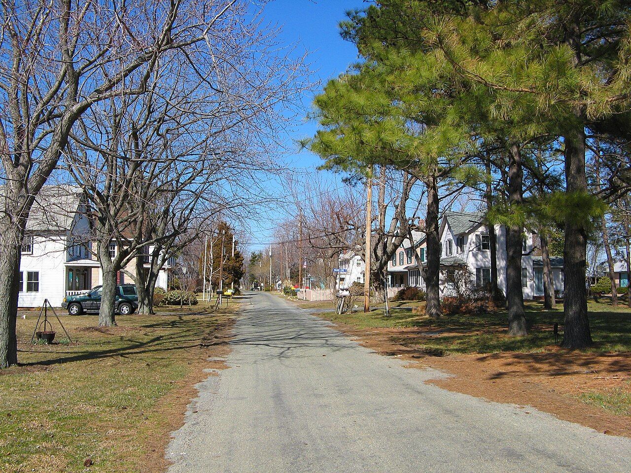
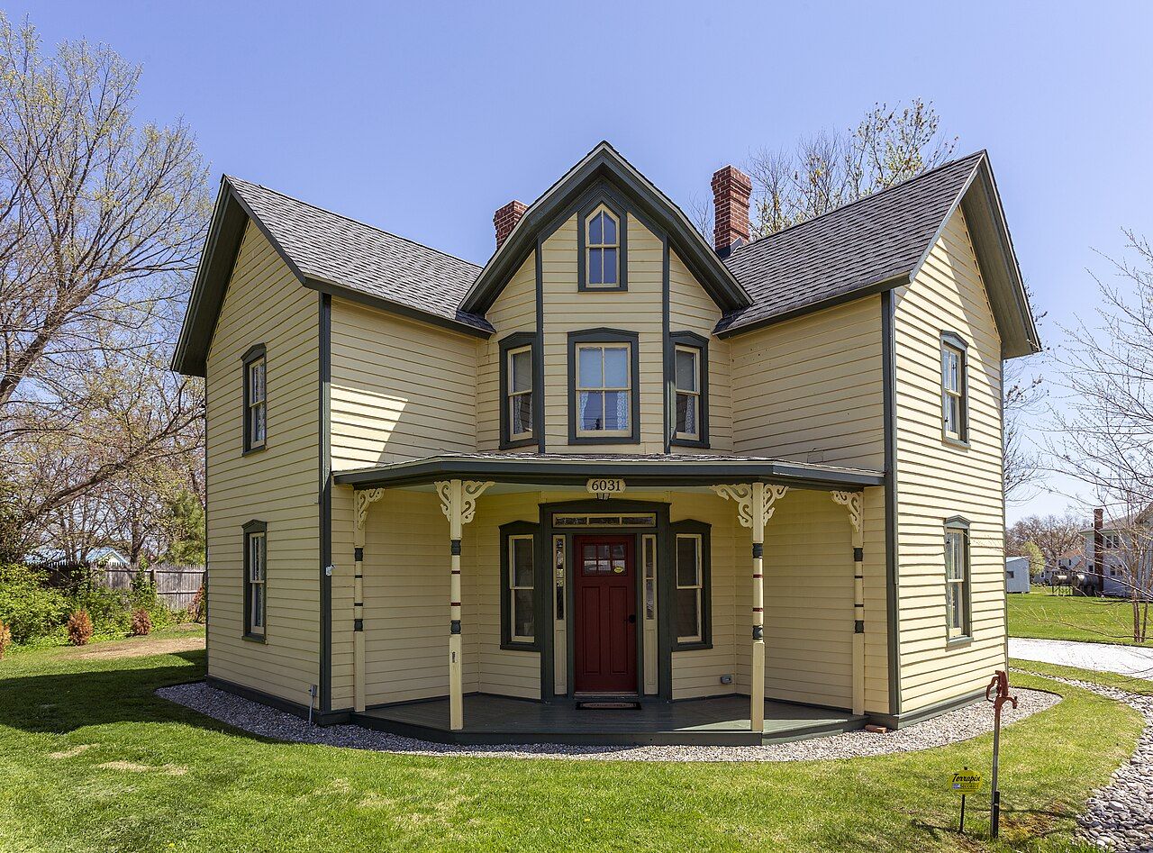
Once across, the road becomes the island's main street. Houses line it on both sides, many of them white frame homes with deep porches and tidy lawns that run down to the shore or back to the marsh. Side lanes lead off to small harbors and coves. The island is only a few miles long, so you can see most of it in an hour of slow driving, but it rewards a longer stay.
Skipjacks, the last of the sailing fleet
The reason many people make the drive is the skipjack. These are broad, shallow wooden sailboats with a single raked mast and a long boom, built for dredging oysters in the shallow waters of the Chesapeake. They were developed in the late nineteenth century, when oystering on the bay was at its height and hundreds of them worked the beds every winter.
Maryland law has long limited oyster dredging under power, which is why the sailing dredge boats survived well into the modern era. The skipjack fleet that remains is often described as the last commercial fleet working under sail in North America, and the state named the skipjack its official boat. Only a small number are still afloat, and fewer still dredge for oysters each season. Several of them call Tilghman home.
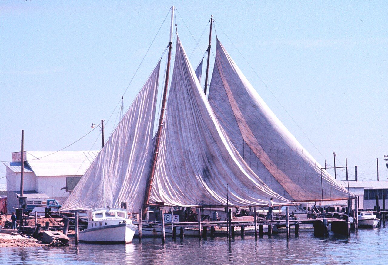
You can often see them tied up in the island's harbors, their tall masts rising above the workboats. In summer some take visitors out on the bay for a sail, and in late fall and winter the working boats go out to dredge when the season and the weather allow.
Watching a skipjack under sail is worth some patience. The sail is enormous for the size of the boat, and when it fills the whole vessel leans and gathers speed in a way that makes the old design suddenly make sense. If you want more on the boats and the oyster trade behind them, read our guide to oysters and the watermen who dredge them.
The sail is enormous for the size of the boat, and when it fills the whole vessel leans and gathers speed in a way that makes the old design suddenly make sense.
A working island
The skipjacks get the attention, but most of Tilghman's water work happens in low, white workboats. In summer the island turns to crabs: trotlines and pots, early starts and long hot days. In the colder months the focus shifts to oysters and fishing. Some families have worked these waters for generations, and the island's place names and church records reach back a long way.
Also enteredOysters and the watermenThe island takes its name from the Tilghman family, prominent landowners in colonial Talbot County. For much of its history it was a farming and fishing community reached by boat, and later by the road and the bridge over the narrows. Seafood packing houses once lined its shores and shipped crabs and oysters by steamboat and truck. Fewer of those operations remain today, and the island, like much of the bay shore, has seen more summer homes and fewer full-time watermen over the decades.
The small Tilghman Watermen's Museum keeps that history close. It occupies an old frame house near the middle of the island and collects the tools, photographs and stories of the people who worked the water here. Its opening times are limited and seasonal.
Be a considerate visitor. The docks and harbors are workplaces, and many piers are private. Do not climb onto boats, step over lines or block a driveway to take a photo. Workboats are often unloading crabs or fuel, and a crew in a hurry does not need an audience in the way. A wave from the road is welcome; wandering onto a dock uninvited is not.
The south end and the open bay
Keep driving south and the houses thin out. Fields, woods and marsh take over, and the island narrows toward Black Walnut Point at its tip. Along the way you pass a fenced federal research station, a reminder that the island's open views over the water have uses beyond fishing.
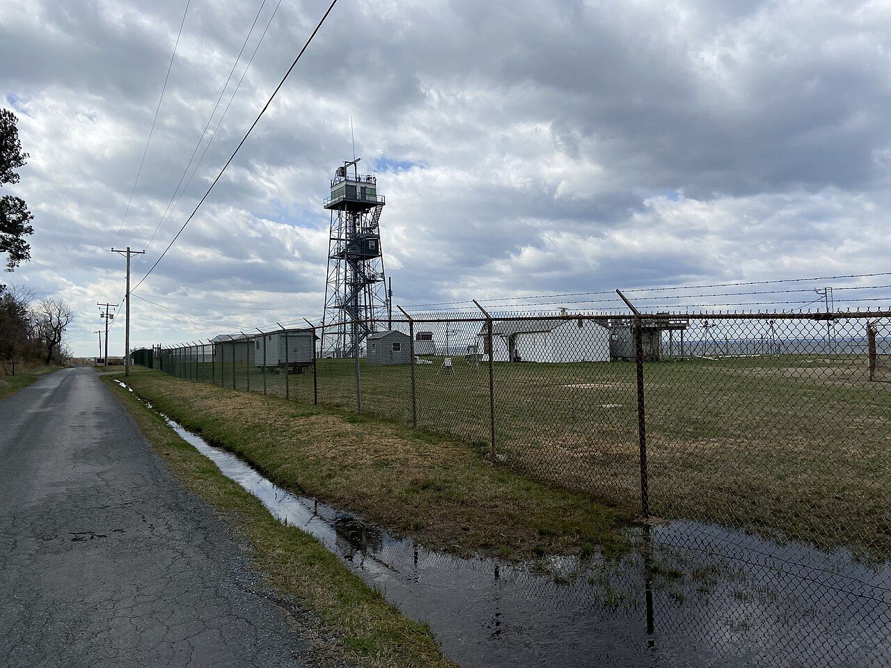
The views from the west shore are some of the widest on the Eastern Shore. On a clear day you look straight across the bay toward the western shore, a thin dark line on the horizon. Closer in, to the north, Poplar Island is being rebuilt with material dredged from the shipping channels, slowly regaining marsh and upland that had washed away. To the south, offshore, the old Sharps Island lighthouse leans at a visible angle, all that remains of an island that eroded into the bay.
Those sights tell you something important about the place. The Chesapeake's islands are low and soft, and the water has been taking them back for a long time. Tilghman itself has lost shoreline over the years, and riprap and bulkheads now protect much of its edge. Standing at the south end with the wind coming off open water, you can see why people here pay such close attention to the weather.
Late spring and early fall are the easiest seasons. The air is mild, the boats are busy, and the light over the water in the evening is soft and long. Summer brings heat, humidity, biting flies and sea nettles in the water, along with the best of the crab season. Winter is quiet and often raw, but it is the season when the skipjacks dredge and the bay fills with ducks and geese.
A good plan is to leave Easton in the morning, stop in the harbor town of St. Michaels on the way, and reach the island by midday. Watch the drawbridge, drive or cycle the length of the island, and stay for sunset on the west side. The road is flat, and the route from St. Michaels is popular with riders; our guide to cycling the Eastern Shore has more on routes and traffic. If you came for the crabs, our guide to Chesapeake blue crabs explains the season and how to eat them.
- Allow time for the bridge. When the span is up, traffic waits, sometimes for several minutes.
- Bring layers. Even on warm days the wind off the bay can be cool, especially on the water.
- Respect private land. Much of the shoreline is private; use public landings and roadsides.
- Check the weather. Storms build quickly over the bay in summer afternoons.
Tilghman does not offer a list of sights to tick off. It offers a working waterfront, a few of the old sailing oyster boats, and the feeling of standing at the edge of a very large body of water. Take it slowly, keep out of the way of people at work, and let the island set the pace.