
Islands and the bay · Kent Island
Kent Island, at the foot of the Bay Bridge
Most people cross Kent Island at highway speed. Slow down and you find Maryland's oldest English settlement, a quiet old village, marsh trails and a busy watermen's channel.
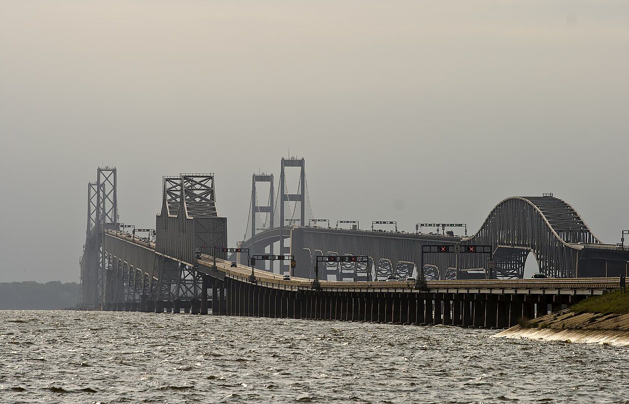
For most travelers Kent Island is the first piece of the Eastern Shore they touch. The Chesapeake Bay Bridge comes down on its western edge, US 50 runs straight across it, and within a few minutes you are over the Kent Narrows bridge and on the mainland of Queen Anne's County. It is easy to treat the island as a blur of shopping centers and traffic lights.
That would be a mistake. Kent Island has the oldest English roots in Maryland, an old village that still keeps its small scale, a long paved trail across the marsh, and a channel at Kent Narrows where workboats and pleasure boats share the water. It is a good place to break the drive from the west, or a short trip on its own from Easton.
Maryland's first English settlement
Kent Island's European history starts before Maryland itself. In 1631 the Virginia trader William Claiborne set up a trading post on the island to deal with the Native peoples of the upper bay for furs. That post is generally counted as the first English settlement in what became Maryland, three years before the colonists of the Maryland charter landed at St. Mary's City on the western shore.
The two ventures soon collided. Claiborne held his rights from Virginia; the Calvert family held a royal charter that included the island. The quarrel brought armed clashes on the water in the 1630s and dragged on in courts and politics for years before Maryland's claim prevailed. The episode is one of the earliest disputes between English colonies in North America, and it explains why the island's people are so attached to their founding date.
Little survives above ground from that first settlement, and its exact site is still debated. What you find instead is a landscape of farms, marsh and later villages that grew up on the island over the following centuries.
The Bay Bridge
Before the bridge, the way across the bay was by boat. State-run ferries carried cars between the western shore and a landing on Kent Island, and the trip was slow and at the mercy of weather. The first span of the Chesapeake Bay Bridge opened in 1952, and a second, parallel span followed in 1973. Together they carry US 50 and US 301 across more than four miles of open water.
The bridge changed the Eastern Shore. Beaches, farms and river towns that had been a long journey from Baltimore and Washington became a drive of a few hours, and the island at the bridge's foot grew quickly. Today the spans are a landmark in their own right: tall towers over the shipping channel, long low trestles near each shore, and on summer weekends a slow ribbon of traffic.
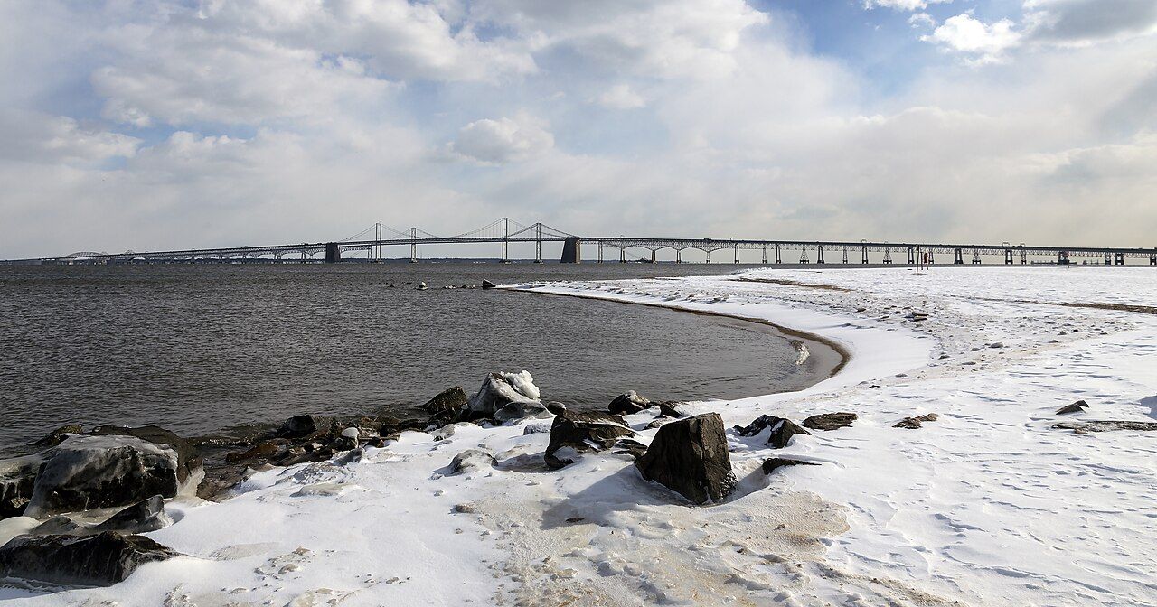
The best views come from the shore rather than the roadway. From the Kent Island side, small public parks and landings along the western shoreline look straight at the spans, and at sunset the towers turn dark against a bright sky. If you are crossing, the eastbound span gives a good look north up the bay; keep your eyes on the road and let a passenger do the sightseeing.
Also enteredCycling the flat ShoreStevensville and the old island
North of US 50, Stevensville is the island's old village. A few streets hold a cluster of historic buildings: a small frame railroad depot from the days when a line ran down the island to a steamboat landing, an early frame house, an old bank building and Christ Church, an Episcopal parish with deep roots on the island. Local volunteers have kept these buildings standing and open them on set days.
Walking the village takes less than an hour, and it gives you a sense of the island before the bridge: a scatter of farming and fishing communities linked by water and, later, by rail. From Stevensville, roads lead north toward Love Point at the island's tip, where steamboats and ferries once called.
The Cross Island Trail
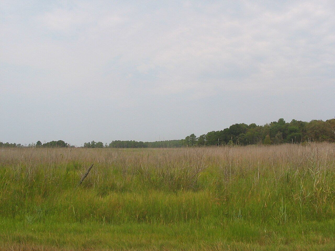
The easiest way to see the island at your own pace is the Cross Island Trail, a paved path that runs about six miles across Kent Island from a county park on the bay side to Kent Narrows. It passes through woods, along marsh edges and over creeks, mostly away from the highway noise, and it is flat enough for any rider or walker.
The western end begins at Terrapin Nature Park, where short trails lead through meadow and wetland to a sandy bay beach with a full view of the bridge. The eastern end reaches the narrows and its harbor. Along the way, look for herons in the creeks, ospreys in spring and summer, and waterfowl in the colder months. For longer days on two wheels, our guide to cycling the Eastern Shore covers routes farther east.
Kent Narrows and the water
Kent Narrows is the channel that separates the island from the mainland. A drawbridge carries the old road across it, and a high bridge lifts US 50 over the top. Below, the narrows is a busy place: watermen unload crabs and oysters, pleasure boats pass between Eastern Bay and the Chester River, and marinas line the banks.
It is a good spot to watch boats and to understand how much of the island's life still depends on the water. The crab season brings early mornings and loaded workboats; the cooler months bring oysters. Our guides to Chesapeake blue crabs and to oysters and the watermen explain the seasons and the work.
From the narrows, Easton is a straightforward drive south and east, and Tilghman and St. Michaels are an easy reach beyond it. Kent Island works well as the first stop of a longer trip into Talbot County, or as a last walk on the trail before you rejoin the traffic heading west.